Property & Boundary Projects
Boundary definition, beaconing, subdivisions, amalgamation, mutation-related fieldwork and mapping support.
Seline Consultants supports property, engineering, mapping, planning and infrastructure projects with accurate field data, modern geospatial technology and practical land expertise.
From coastal land assignments and subdivisions to engineering, planning, GIS and precision survey control, our project capability is structured around reliable information and practical delivery.
Boundary definition, beaconing, subdivisions, amalgamation, mutation-related fieldwork and mapping support.
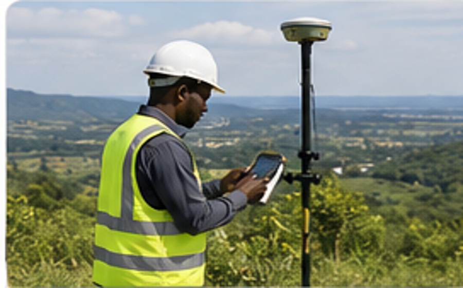
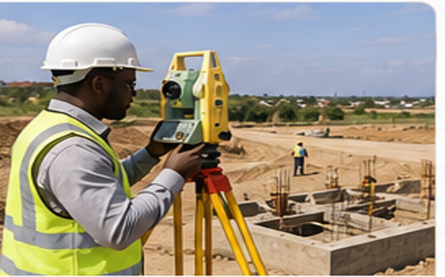
Site control, setting-out, levels, alignments, quantities, as-built surveys and monitoring for construction teams.
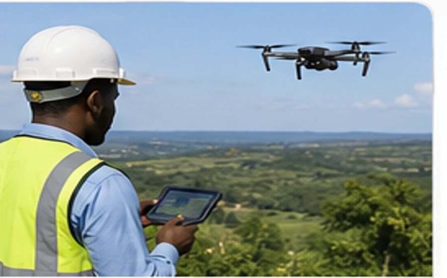
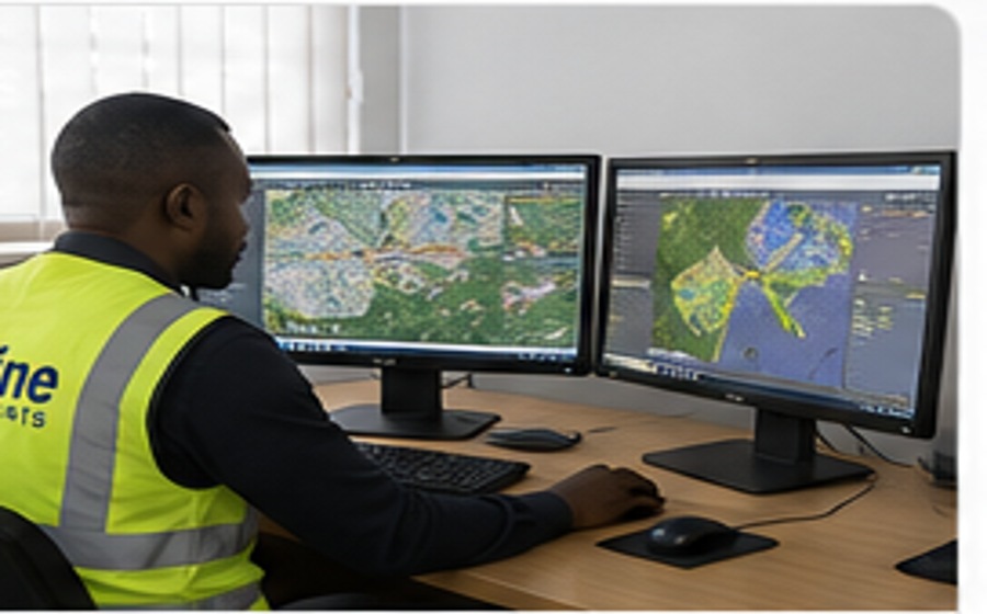
Topographic surveys, GIS databases, UAV mapping, orthophotos, terrain models and spatial decision support.
Practical survey and property support informed by extensive experience with land matters along Kenyaβs coast.
Land-use and spatial planning inputs for residential, commercial, institutional and mixed development.
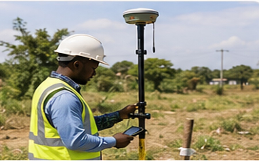
GNSS control, benchmark establishment and reliable reference frameworks for multi-disciplinary projects.
Our project work can support land acquisition, subdivision, planning, engineering design, construction control, mapping and spatial decision-making.