01
Precision Measurement
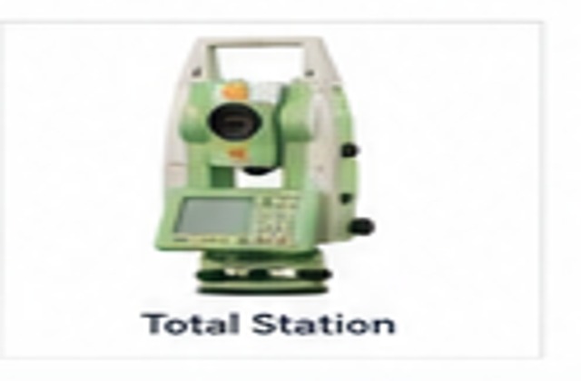
Total Station
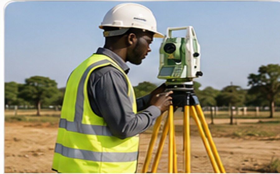
Angular and distance measurement for control, setting-out, detail and engineering surveys.
Modern instruments supporting precise field observations, efficient data capture and dependable professional results for land, engineering and geospatial assignments.
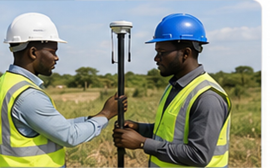
Our equipment supports cadastral, engineering, topographical, geodetic, UAV and mapping assignments. The appropriate instrument is selected according to the project objective, accuracy requirement and site conditions.
Angular and distance measurement for control, setting-out, detail and engineering surveys.
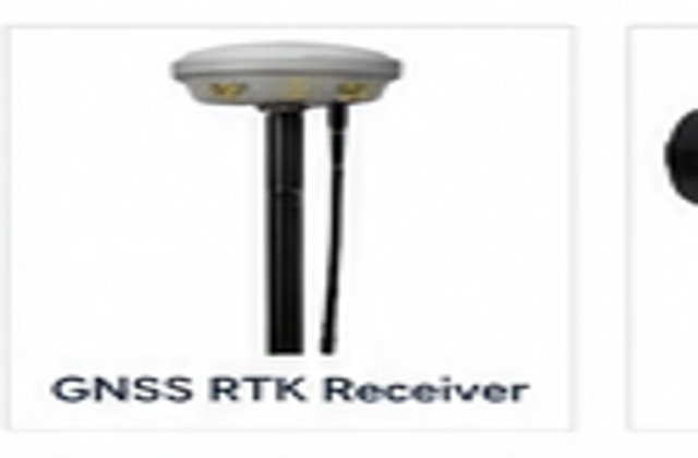
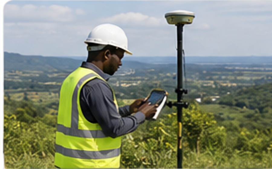
High-accuracy satellite positioning for control networks, cadastral and topographic work.
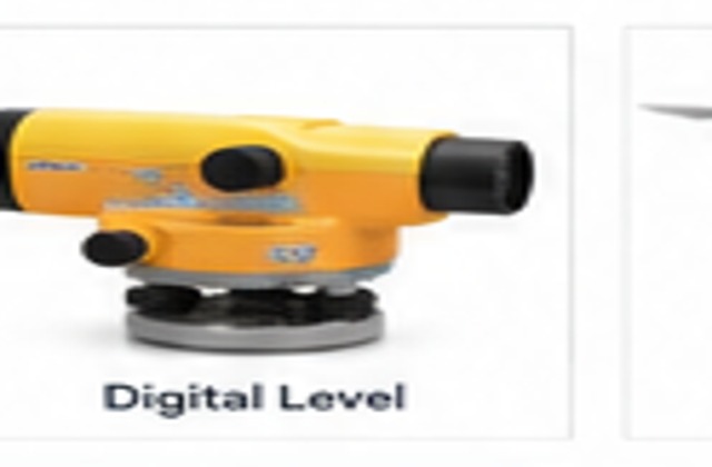
Precise height transfer, benchmarks and engineering level control.
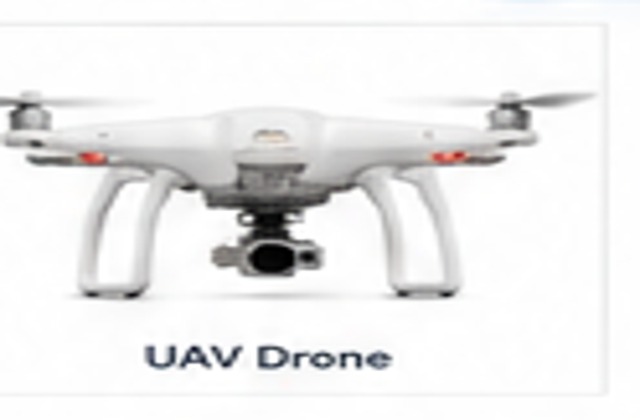
High-resolution aerial mapping, orthophotos, terrain models and progress monitoring.
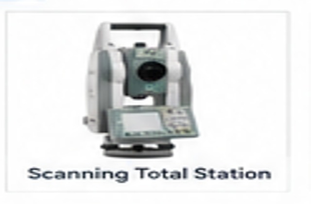
Integrated measurement and dense spatial capture for complex sites.
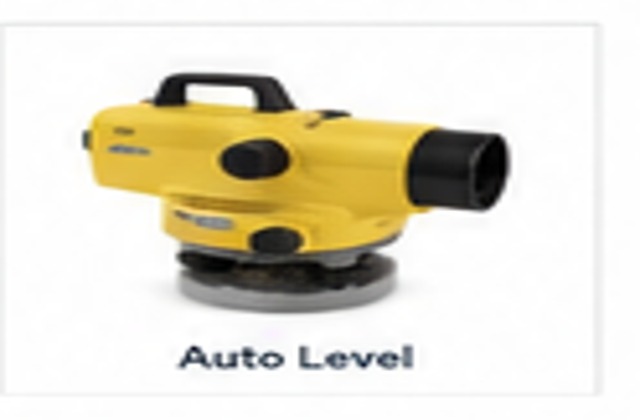
Reliable construction, profile and general levelling work.
Field navigation, reconnaissance and asset location support.
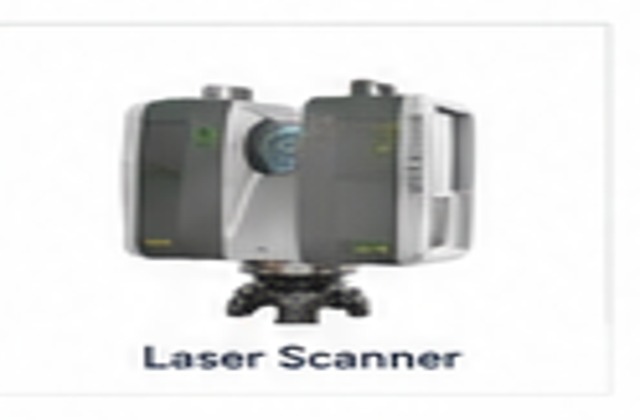
Dense 3D point capture for structures, terrain and spatial documentation.
Seline Consultants combines precision instruments with field experience, disciplined survey procedures and professional data processing to produce reliable survey information.