 Field + Digital
SERVICE
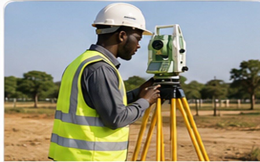
Topographical Surveying & Mapping
Detailed terrain, contour and feature surveys for planning, design and construction.
View service →Seline Consultants combines experienced survey professionals, modern field technology and practical property knowledge to deliver accurate land, engineering, mapping and geospatial solutions across Kenya.
Seline Consultants is dedicated to offering honest and knowledgeable service in real estate, land and surveying matters. Our approach is guided by a simple philosophy: the client’s interest is the driving force behind what we strive to deliver. Our dedicated and professional staff approach every assignment with care, accuracy and accountability.
The Chief Executive of Seline Consultants Limited, Mr. Maina Rwingo, holds a BSc (Hons) in Surveying and Mapping Sciences from the University of East London, Britain. His professional experience in London helped shape a strong understanding of international expectations, professional standards and client service.
He previously served in the Kenya Government’s Ministry of Lands and Settlement Department for 12 years and has extensive experience in property matters, particularly within Kenya’s coastal areas. His work has included land subdivision, boundary and survey processes, and support for land registration.
We support property owners, developers, architects, engineers, institutions, investors and public-sector projects with modern, reliable survey intelligence.
Field + Digital
Detailed terrain, contour and feature surveys for planning, design and construction.
View service →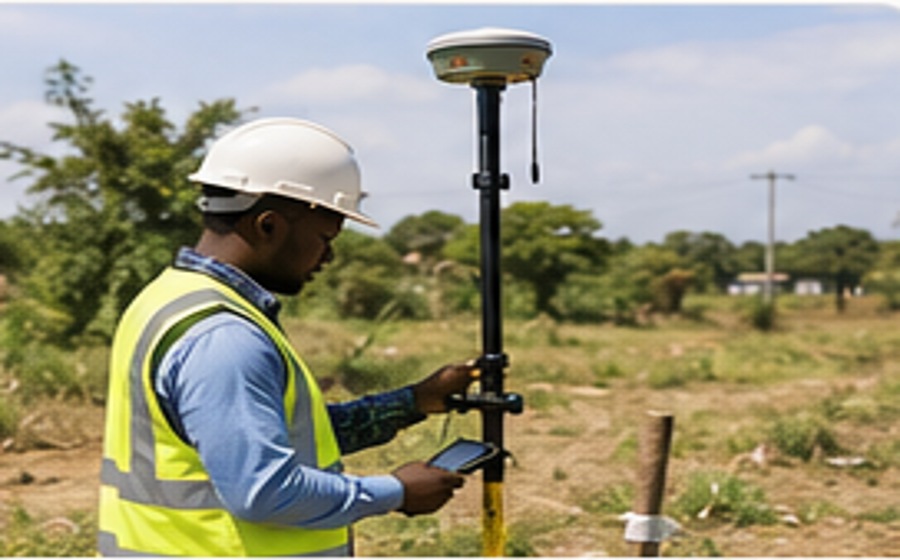 Field + Digital
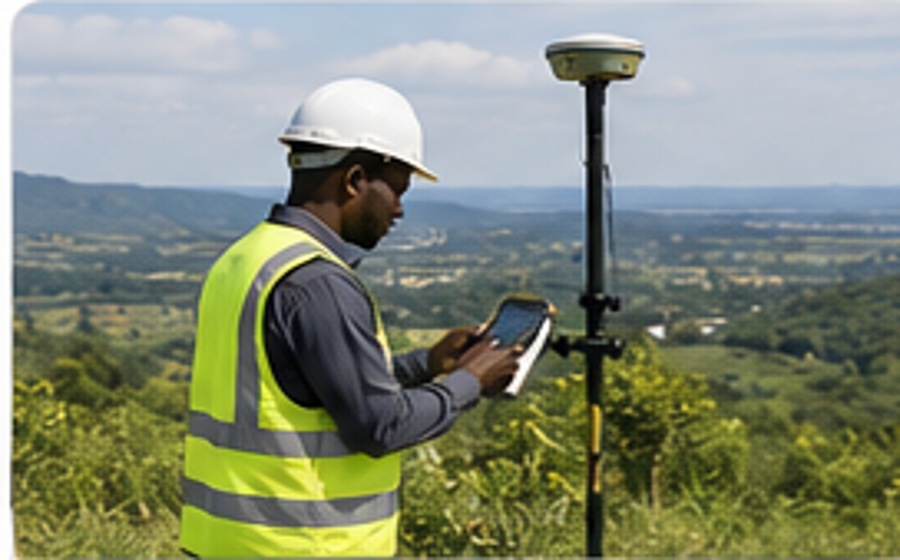
Boundary definition, subdivision, mutation, beaconing, amalgamation and land registration support.
View service →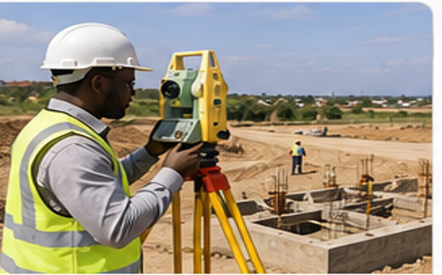 Field + Digital
Setting-out, alignment, level control, deformation monitoring and as-built surveys for engineering works.
View service →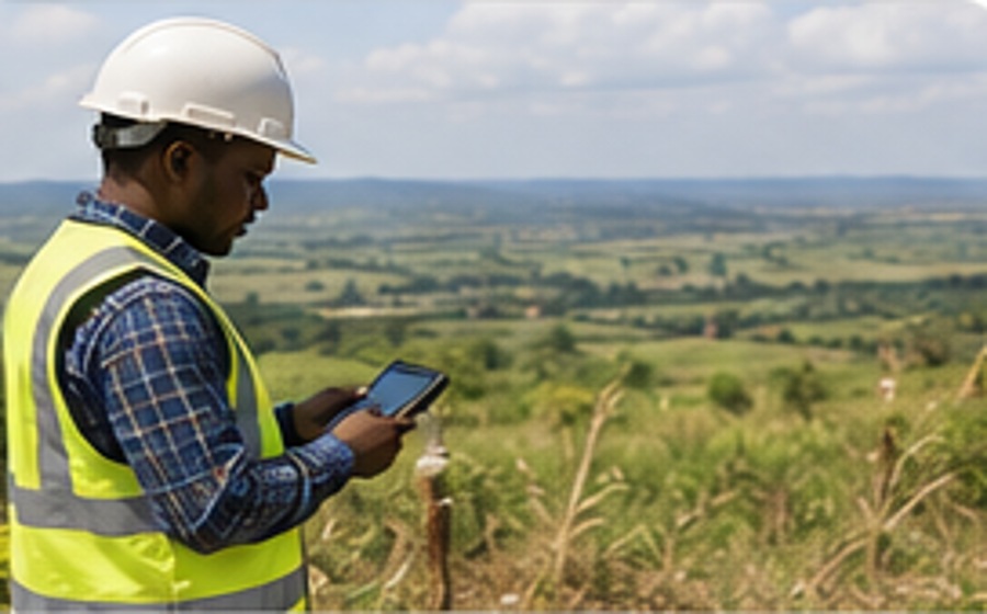 Field + Digital
Practical land-use, subdivision and development planning for sustainable property development.
View service →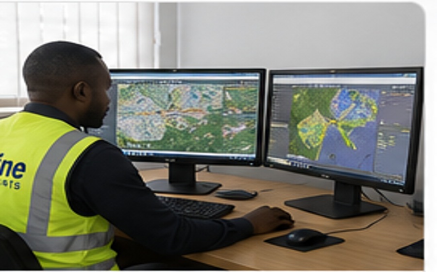 Field + Digital
Spatial databases, digital mapping, geospatial analysis and decision-support systems.
View service →Field + Digital
Integrated spatial planning for settlements, infrastructure, utilities, access and growth.
View service →Field + Digital
Evidence-led spatial frameworks that align land, infrastructure, environment and investment.
View service →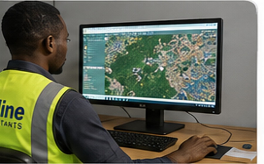 Field + Digital
Satellite and remotely sensed data interpretation for terrain, environment and land monitoring.
View service →Field + Digital
High-accuracy GNSS control networks, benchmarks and reference frameworks for precise projects.
View service →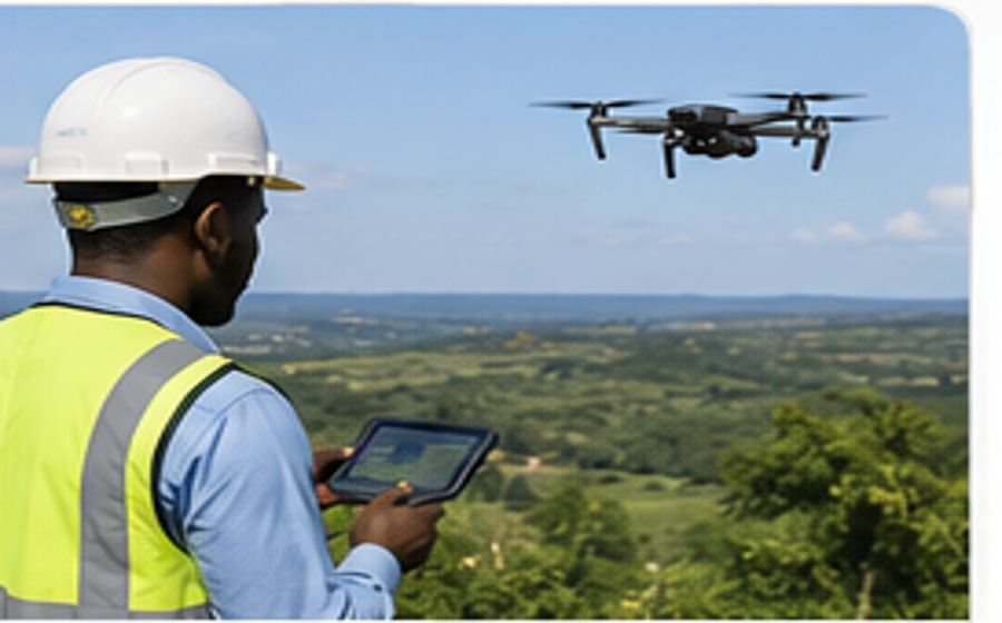 Field + Digital
Drone mapping, orthophotos, 3D terrain models, progress mapping and photogrammetry.
View service →Field + Digital
Structured geospatial data management, digital records and location intelligence workflows.
View service →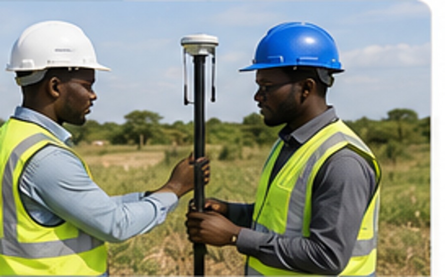 Field + Digital
Practical guidance and training in modern survey instruments, field procedures and data workflows.
View service →Our workflow integrates modern survey instruments, GNSS positioning, UAV data capture, GIS analysis and precise digital processing to improve accuracy, speed and confidence in decision-making.
Explore Our Technology →Technology is valuable when it is matched with disciplined field practice and experienced interpretation.
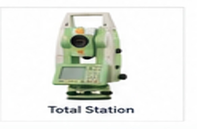
High-accuracy angle and distance measurement
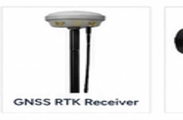
Centimetre-level positioning and control
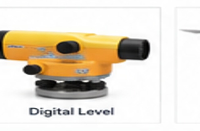
Precision height transfer and levelling

High-resolution aerial mapping
Integrated field measurement and capture

Reliable construction levelling

Reconnaissance and field navigation

Dense 3D point-cloud acquisition
Tell us where the property or project is located and what you need surveyed. We will help you identify the right technical approach.